Land tenure refers to the relationship between people and land, from a legal or general perspective. It is basically a set of rules created by societies to define and regulate the allocation of land and the activities performed on it. These rules also define how people gain access to the rights to utilize, manage, and […]
Blog
Land Survey Measurement Equipment: More About GIS
GIS is an acronym that’s often used in many fields nowadays when we talk about mapping, be it in the field of real estate or business strategy. But what, precisely, is it? And how is it different from the systems we have been using so far? In this post, we’ll explain a bit about GIS, […]
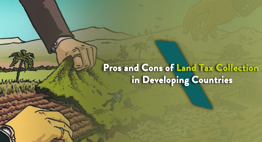
Pros and Cons of Land Tax Collection in Developing Countries
Property tax (PT) is considered by policy makers as a ‘good’ tax in comparison with other taxes like income tax. However, it contributes very little to the GDP in developing countries at present, with average revenues of below one percent. Such lack of contribution has led to an interest among policy makers to take steps […]
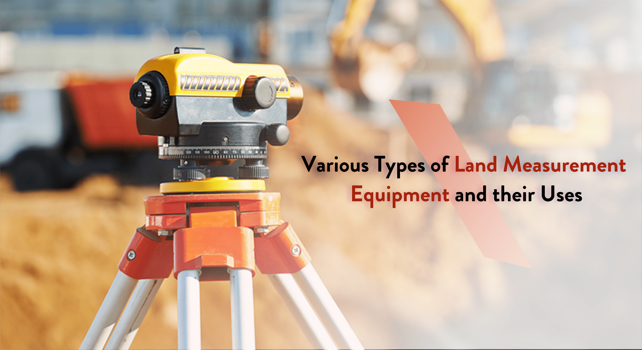
Various Types of Land Measurement Equipment and their Uses
Mapping and surveying pertain to the methodology, occupation, and science behind the evaluation of the parameters and contour of the Earth’s surface. It is achieved with the help of specialized surveying tools and equipment used by professional surveyors to determine land perimeters. The data gained from this practice proves useful for a variety of essential […]
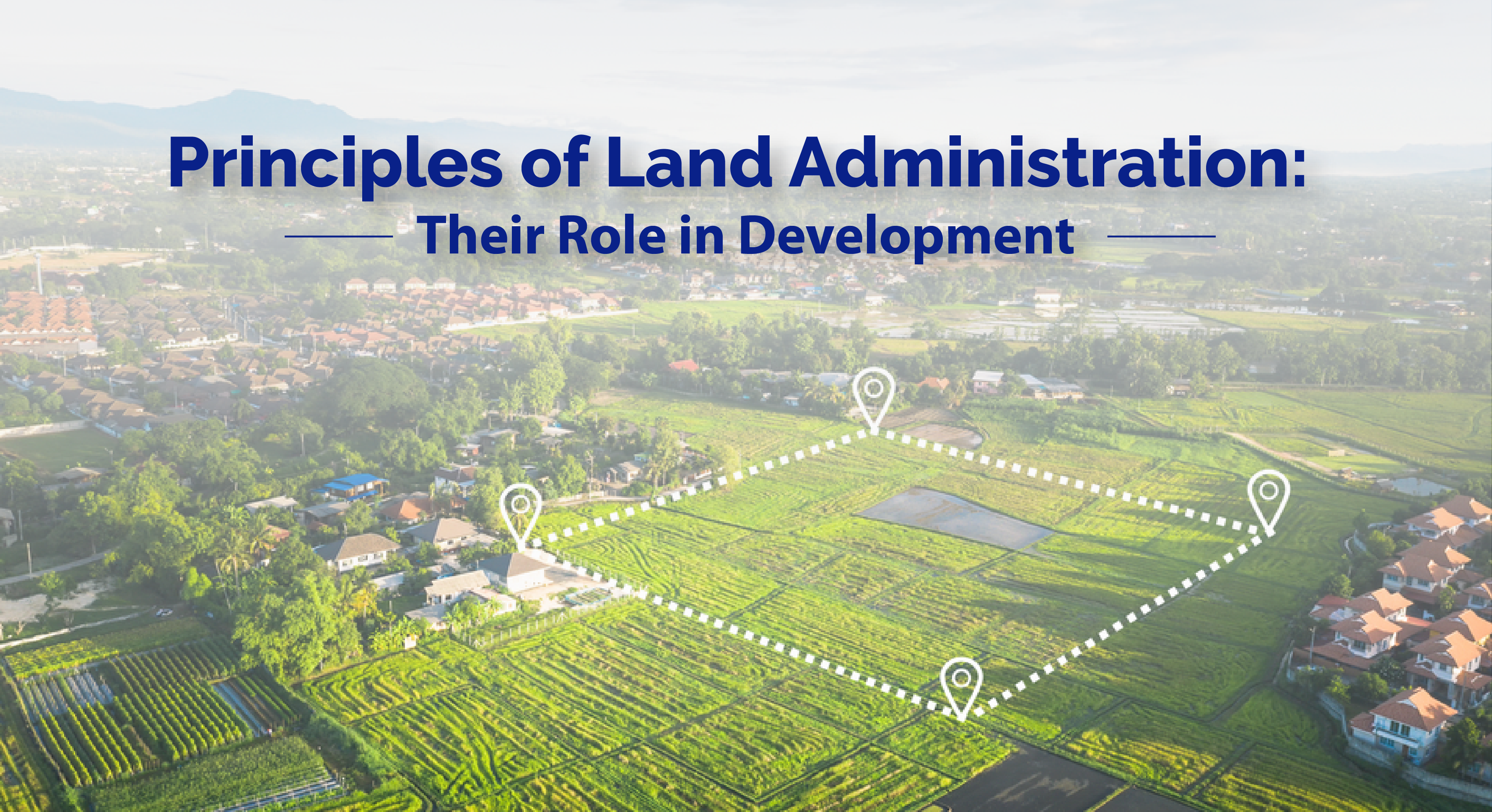
Principles of Land Administration: Their Role in Development
Land administration, when done properly, can play a huge role in the improvement of the citizens’ access to various opportunities. It includes the distribution of land rights which is a strong motivator in improving productivity and investments on a local and domestic level. The understanding of the principles of land administration is incredibly essential in […]
Satellite-Based Navigation System: Know More about GNSS
In case you are wondering about the origin of the GNSS or Global Navigation Satellite System, it is important to note that it all started as Satellite Navigation. The roots of both GNSS and RTK (Real-Time Kinematic) can be traced from this technology that has grown to become an indispensable part of our lives. Also […]
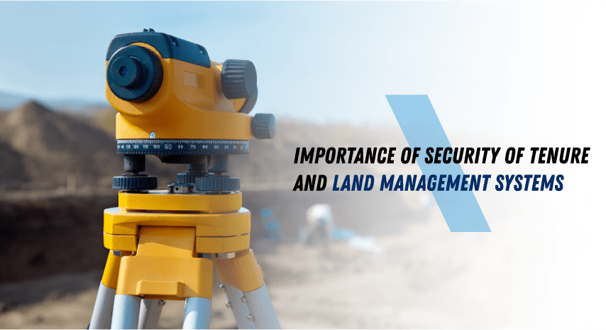
Importance of Security of Tenure and Land Management Systems
Around the world, data suggests that less than sixty countries actually have accurate and updated national land registries with verifiable owner data and precisely mapped boundaries. Additionally, many countries that currently have systems for tenure-recording could use a lot of improvement in this regard. Why Stress the Importance of Security of Tenure Let us consider […]

AIOS Integrated Land Systems to end the vicious circle of global land administration
Today, NASA announced the creation of the Artemis Accords, a new set of standards on how to explore the Moon. The agency hopes that other countries will agree to the terms, which lay out how humanity will act on the Moon, including how to mine resources from the lunar surface and ways to protect heritage Apollo sites.
