GIS is an acronym that’s often used in many fields nowadays when we talk about mapping, be it in the field of real estate or business strategy. But what, precisely, is it? And how is it different from the systems we have been using so far?
In this post, we’ll explain a bit about GIS, talk about what can be mapped, and mention some of its applications. We’ll also highlight key differences between GIS and other systems.
GIS: What is it?
When people think about maps, they probably imagine paper fold-outs and school atlases, but today’s maps have become much more than those older, static maps.
GIS stands for Geographic Information System. It is a particular form of mapping technology that enables the user to extend data connected to geographic areas. Instead of viewing only a few of the main features on a static map, GIS helps us look at changeable groups of data layers through dynamic equipment.
This type of mapping can help you envision and locate patterns that were tough to view when the data elements were in table format. It also makes patterns emerging from various combinations of datasets more visible.
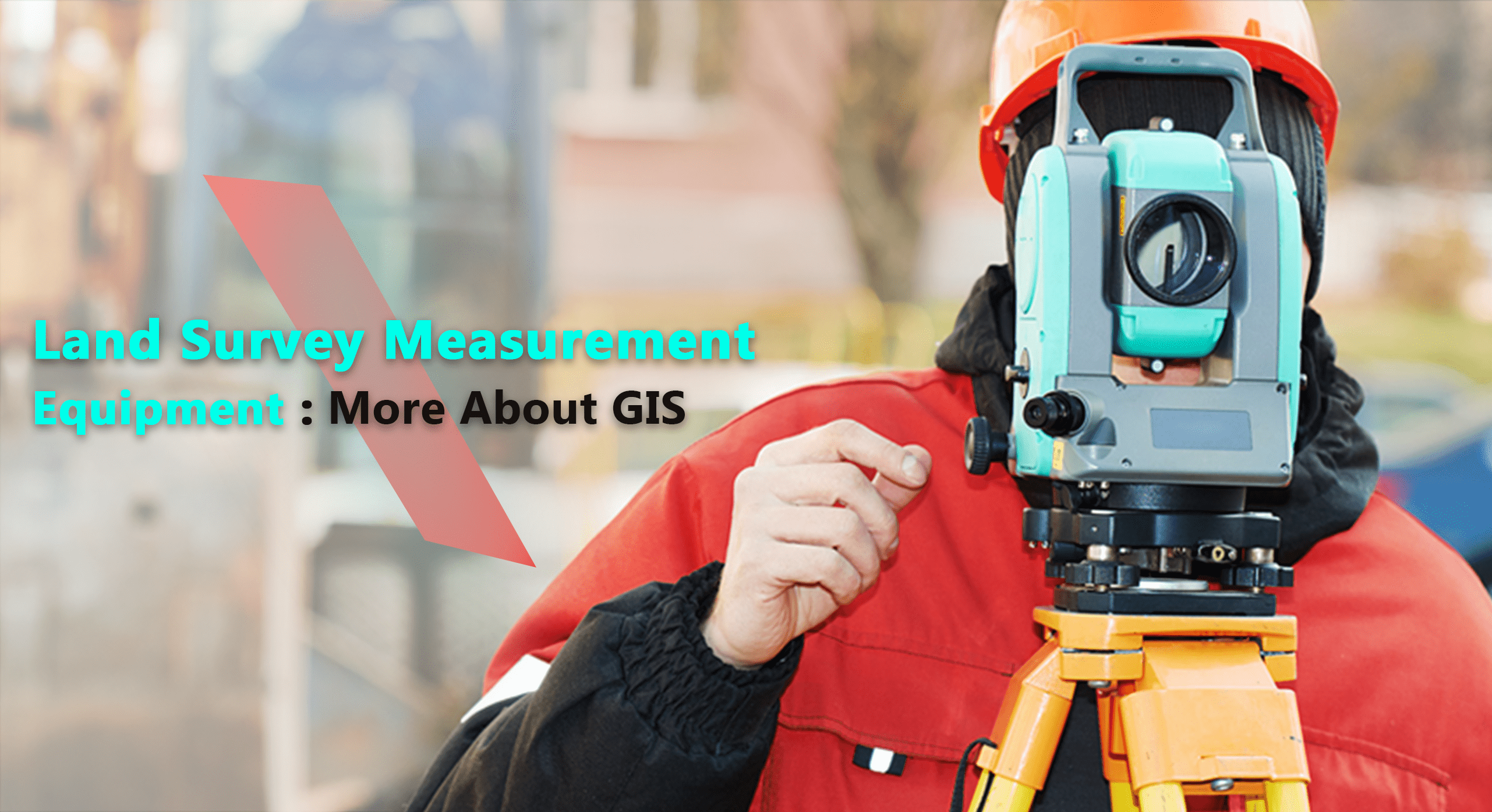
Elements that Can be Mapped to Assist in Land Surveying and Measurement
You can map any geospatial point using GIS. A geospatial point is what a data element that can be linked to a latitude and longitude is called. It may include different locations, based on the field it is being used in.
For example, in business, this could include the locations of potential and present clients, the positioning of competitors, demand forecasts for particular products or services per household, and various demographic characteristics among others.
How is GIS Different from Other Systems?
Multiple computer applications are designed to handle basic spatial or geographic data, for eg., spreadsheets and drafting or statistics packages, but they won’t necessarily come under the GIS category. A true GIS is capable of linking spatial and geographic information regarding a specific feature on the map.
Also, a GIS holds a database, rather than simply holding pictures or maps. This sets a GIS apart from other computer mapping or drafting systems, that can only give out a decent graphic output. Since the database concept is central to a geographic information system, all modern GISs incorporate a DBMS.
A GIS renders users capable of associating data with the features of a map and of creating new relationships to help discover the viability of various locations for development, assess ecological impact, determine suitable locations for new facilities, and so on.
Applications of GIS
Since this technology enables you to toggle different data layers to view multiple combinations at a time, it can definitely help you concentrate on one or more data elements in particular or to look at new element combinations. It does this by working seamlessly with different types of global navigation satellite systems and other technologies like CAD and land survey measurement equipment.
Regardless of what approach you take, the objective is to locate patterns that can advise business strategies. GIS, therefore, can be applied in many ways, such as –
● Healthcare – GIS mapping can be used by a healthcare system strategist to observe the projected requirement for certain service lines tiered on their institute’s positioning network. By noting various locations with low and high demands with regard to existing facilities, they can identify opportunities to alter the service lines being provided at every location.
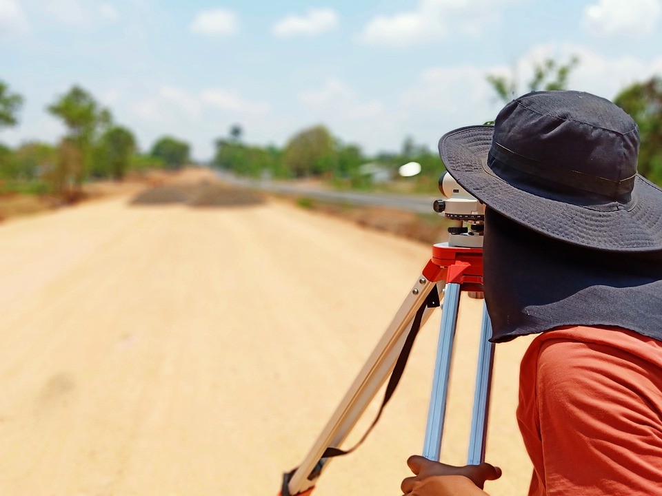
● Land Administration and Management – In several situations, the GIS is utilized in various land survey measurement equipment as it enables users to run reports on the foundational data. It also forms the base for other analytics equipment, such as site scoring tools.
● Retail & Restaurant – This technology can be used to search for potential customer densities, competitor placement, and various area draw factors to find out the profitability of a potential location.