
GIS is an acronym that’s often used in many fields nowadays when we talk about mapping, be it in the field of real estate or business strategy. But what, precisely, is it? And how is it different from the systems we have been using so far? In this post, we’ll explain a bit about GIS, […]
Tag: types of global navigation satellite system
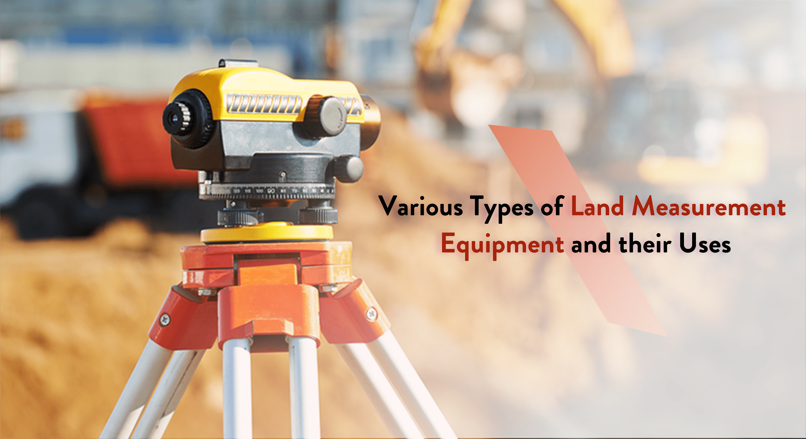
Various Types of Land Measurement Equipment and their Uses
Mapping and surveying pertain to the methodology, occupation, and science behind the evaluation of the parameters and contour of the Earth’s surface. It is achieved with the help of specialized surveying tools and equipment used by professional surveyors to determine land perimeters. The data gained from this practice proves useful for a variety of essential […]