Mapping and surveying pertain to the methodology, occupation, and science behind the evaluation of the parameters and contour of the Earth’s surface. It is achieved with the help of specialized surveying tools and equipment used by professional surveyors to determine land perimeters.
The data gained from this practice proves useful for a variety of essential purposes. In this blog, we will discuss some important land measurement equipment and their uses.
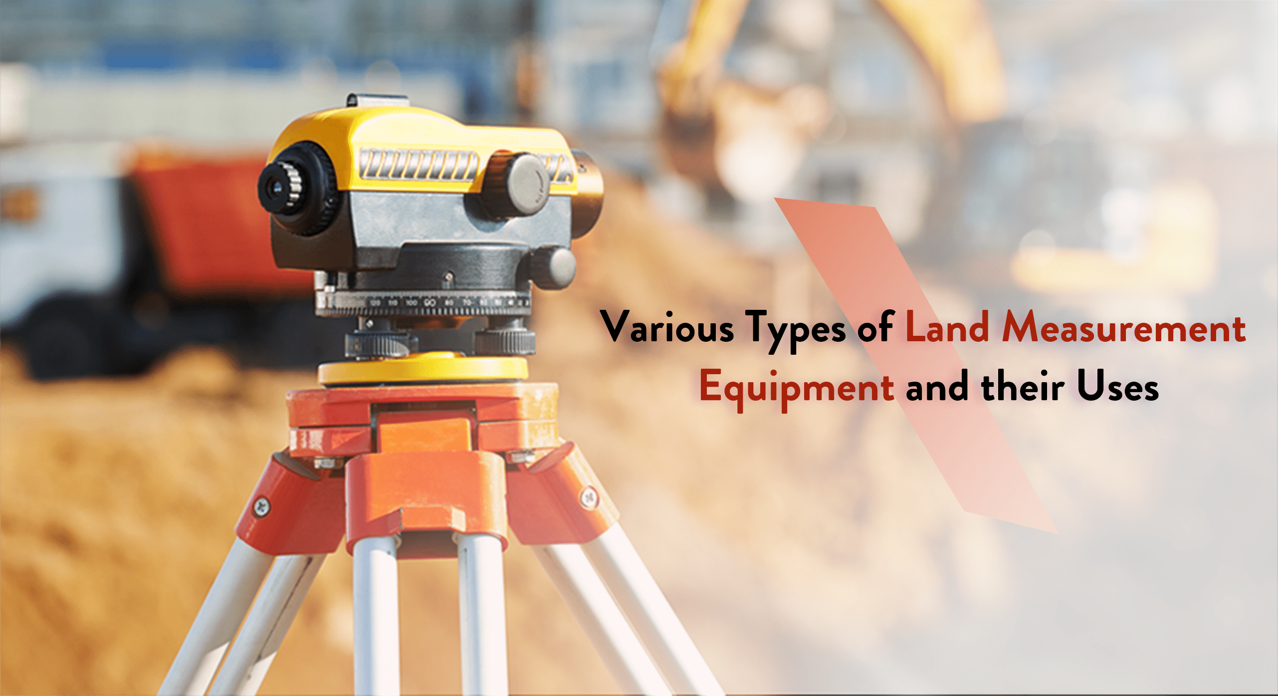
Main Types of Land Measurement Equipment and their Uses
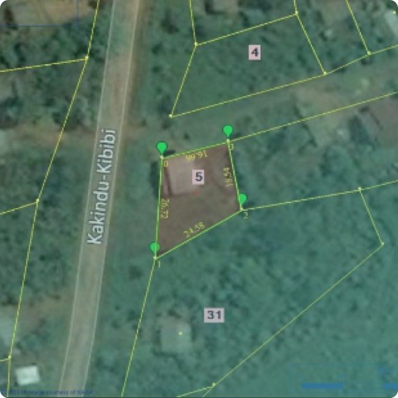
Surveying tools play quite a role in fulfilling many of the functions of land administration. One of the main uses of such equipment is to legally ascertain the boundaries of a property for government-issued deeds.
Additionally, survey experts require such specialized tools to work alongside cartographers in the creation of accurate maps. That’s because surveying
Let’s take a look at the major surveying tools and how they work –
● Rods – A surveying rod is a well-known tool among assessment experts and contractors. Typically constructed from hardwood and aluminium, both alternatives bring their advantages and disadvantages. The main purpose of a rod is to calculate the distance between two points, and this is usually done in tandem with other land measurement equipment.
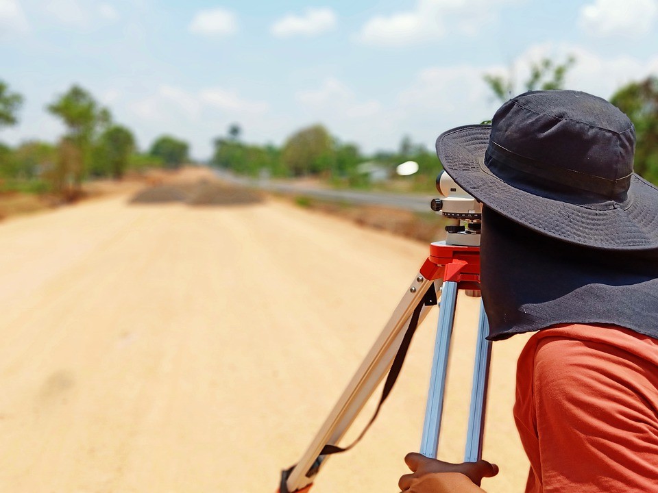
● Tripods – An essential piece of equipment used by almost every surveyor, the tripod gives a well-balanced platform to place some kinds of survey equipment. These hold a special place in the importance of land tenure security and are easily adjustable as they are designed from materials like fiberglass, wood, and aluminium.
Tripods are so popular that they’re almost synonymous with land measurement equipment and their uses. If you spot a surveyor on the job, they are most likely to be spotted behind a tripod, gazing at their set of measurement equipment to gain all sorts of measurements.
● Levels – These are also quite commonly utilized in land measurement, although they are the most useful in conjunction with a reliable tripod and multiple rods. This tool is basically just a level joined to a laser or telescope-like device. This device is practical as it provides a line of sight in every direction. There are several types of level available for various needs, such as the following:
● Hand level
● Abney level
● Automatic level
● Electronic or laser level
● Laser Detector – Laser levels typically come with a beam that can be seen by the naked eye. Those that don’t, require a laser detector that can be connected to the rod regardless of the type. It extends the line of sight by traveling with it and landing further ahead, providing the surveyor an opportunity to make precise assessments.

● Global Positioning System – Also known as GPS, the Global Positioning System is one of the best examples of electronic distance calculation devices. It, as well as others like it, makes use of the different types of global navigation satellite system. However, it may not be ideal for all sorts of terrain, which is why it may require a receiver to properly transmit satellite signals.
● Electronic Distance Measurer – It is an electronic distance measuring device that evaluates the distance from two different points according to the time taken for the laser to reach a certain prism from the surveyor’s device. These are advanced, yet commonly used forms of surveying equipment that have, for the most part, replaced chains from their role as distance calculation tools.