
Land tenure refers to the relationship between people and land, from a legal or general perspective. It is basically a set of rules created by societies to define and regulate the allocation of land and the activities performed on it. These rules also define how people gain access to the rights to utilize, manage, and […]
Tag: GPS equipment for land measurement

Satellite-Based Navigation System: Know More about GNSS
In case you are wondering about the origin of the GNSS or Global Navigation Satellite System, it is important to note that it all started as Satellite Navigation. The roots of both GNSS and RTK (Real-Time Kinematic) can be traced from this technology that has grown to become an indispensable part of our lives. Also […]
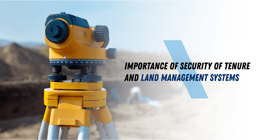
Importance of Security of Tenure and Land Management Systems
Around the world, data suggests that less than sixty countries actually have accurate and updated national land registries with verifiable owner data and precisely mapped boundaries. Additionally, many countries that currently have systems for tenure-recording could use a lot of improvement in this regard. Why Stress the Importance of Security of Tenure Let us consider […]